ECDIS Electronic Chart Integration and Real-Time Buoy Telemetry Verification
On modern commercial vessel bridges, physical buoy visual sightings are continuously cross-referenced against electronic chart display and information systems (ECDIS). This digital telemetry overlays live GPS positioning directly onto official hydrographic surveys, allowing watch officers to confirm channel limits, depth contours, and marker coordinates long before entering restricted waterways.
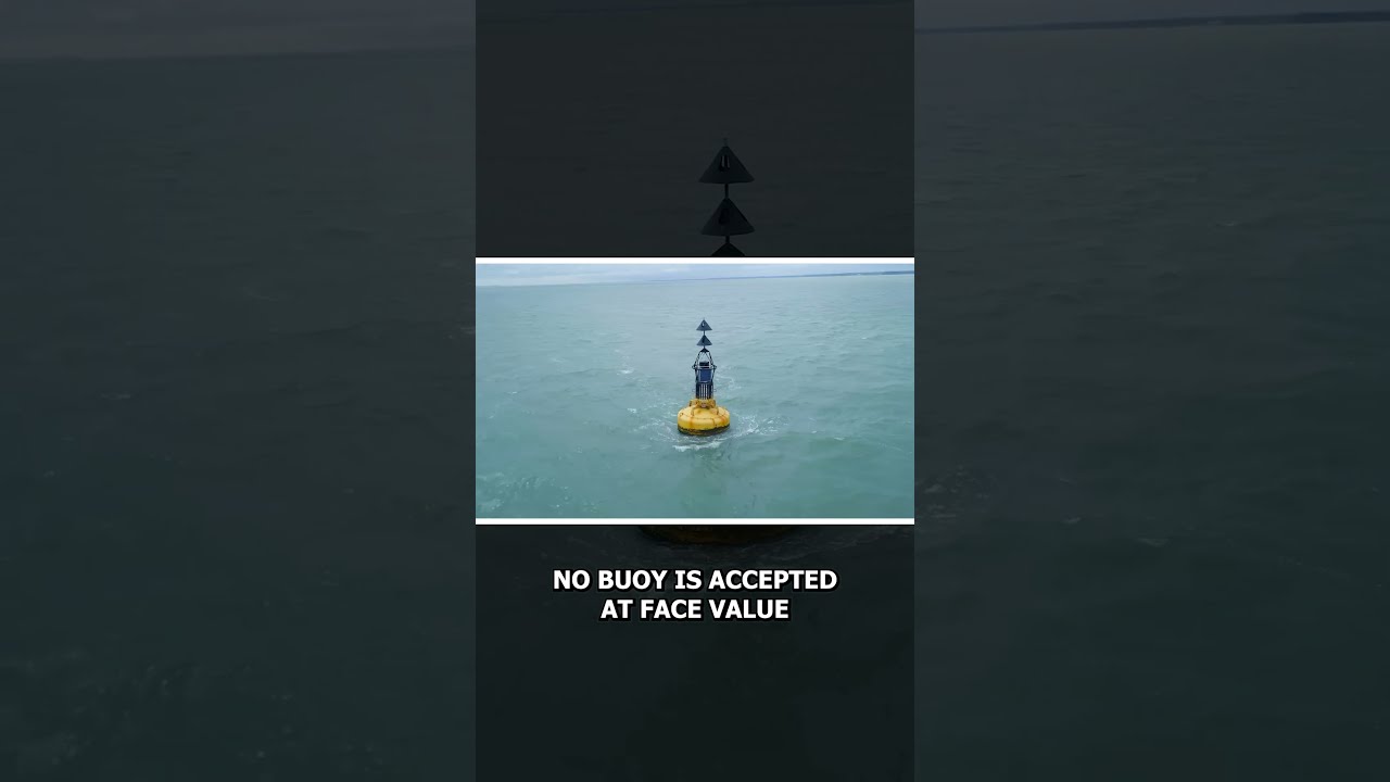
When unexpected maritime accidents occur, hydrographic agencies deploy emergency wreck buoys painted with blue and yellow vertical stripes and a yellow cross topmark to instantly flag fresh underwater hazards. By standardizing colors, shapes, and light rhythms worldwide, the global buoyage system provides a universal visual language that keeps international shipping safe across every ocean.
#ECDIS #SmartShipping #MarineTechnology #NavalArchitecture #CasualNavigation
When unexpected maritime accidents occur, hydrographic agencies deploy emergency wreck buoys painted with blue and yellow vertical stripes and a yellow cross topmark to instantly flag fresh underwater hazards. By standardizing colors, shapes, and light rhythms worldwide, the global buoyage system provides a universal visual language that keeps international shipping safe across every ocean.
#ECDIS #SmartShipping #MarineTechnology #NavalArchitecture #CasualNavigation

Casual Navigation
Your Window Into The Maritime World
Casual Navigation creates content that explores many different aspects of the maritime industry, with the aim of making it fun and interesting for anyone to enjoy.
We publish new videos on the Second and Last Friday o...