How Ship Captains Read Flashing Lights in Pitch Black Oceans
Safe water marks, identified by vertical red and white stripes and a single red sphere, confirm unobstructed navigable water surrounding harbor approaches and channel fairways. In contrast, solid yellow special marks with X-shaped topmarks designate administrative boundaries, pipeline routes, military zones, or traffic separation schemes where special operational rules apply rather than depth hazards.
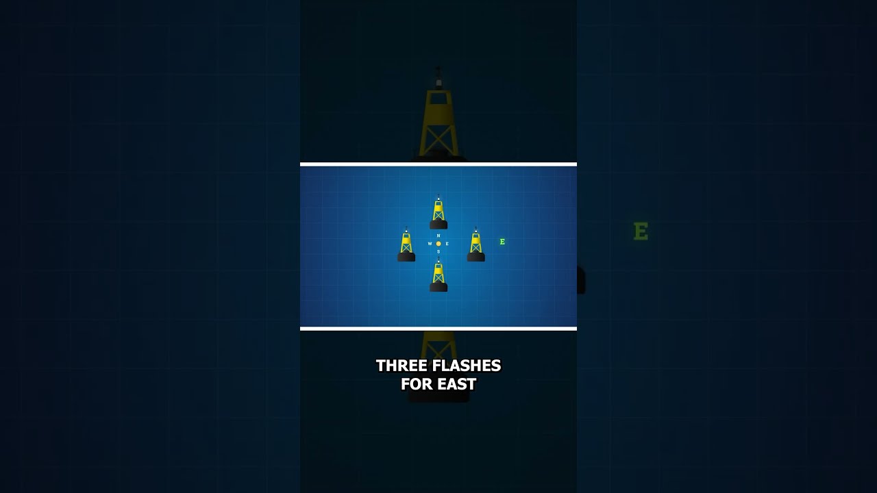
Because visual shapes and colors become invisible at night, every navigation buoy transmits a unique light rhythm and color pattern to maintain positive identification. Cardinal marks utilize rapid white flashing sequences mapped to a 12-hour clock face, such as three flashes for East and nine flashes for West, enabling navigators to determine safe passage directions purely through optical frequency counts.
#NavigationLights #SafeWaterMark #MarineEngineering #OceanNavigation #CasualNavigation
Because visual shapes and colors become invisible at night, every navigation buoy transmits a unique light rhythm and color pattern to maintain positive identification. Cardinal marks utilize rapid white flashing sequences mapped to a 12-hour clock face, such as three flashes for East and nine flashes for West, enabling navigators to determine safe passage directions purely through optical frequency counts.
#NavigationLights #SafeWaterMark #MarineEngineering #OceanNavigation #CasualNavigation

Casual Navigation
Your Window Into The Maritime World
Casual Navigation creates content that explores many different aspects of the maritime industry, with the aim of making it fun and interesting for anyone to enjoy.
We publish new videos on the Second and Last Friday o...