How This Markers Guide Ships Around Hidden Hazards
When ocean hazards spread out irregularly around submerged rocks, shoals, or shipwrecks, hydrographers deploy cardinal marks to indicate where safe deep water lies. Featuring distinct black and yellow color bands and paired triangular topmarks, these buoys point directly toward the safe quadrant, whether North, South, East, or West, allowing bridge officers to steer clear of surrounding obstructions.
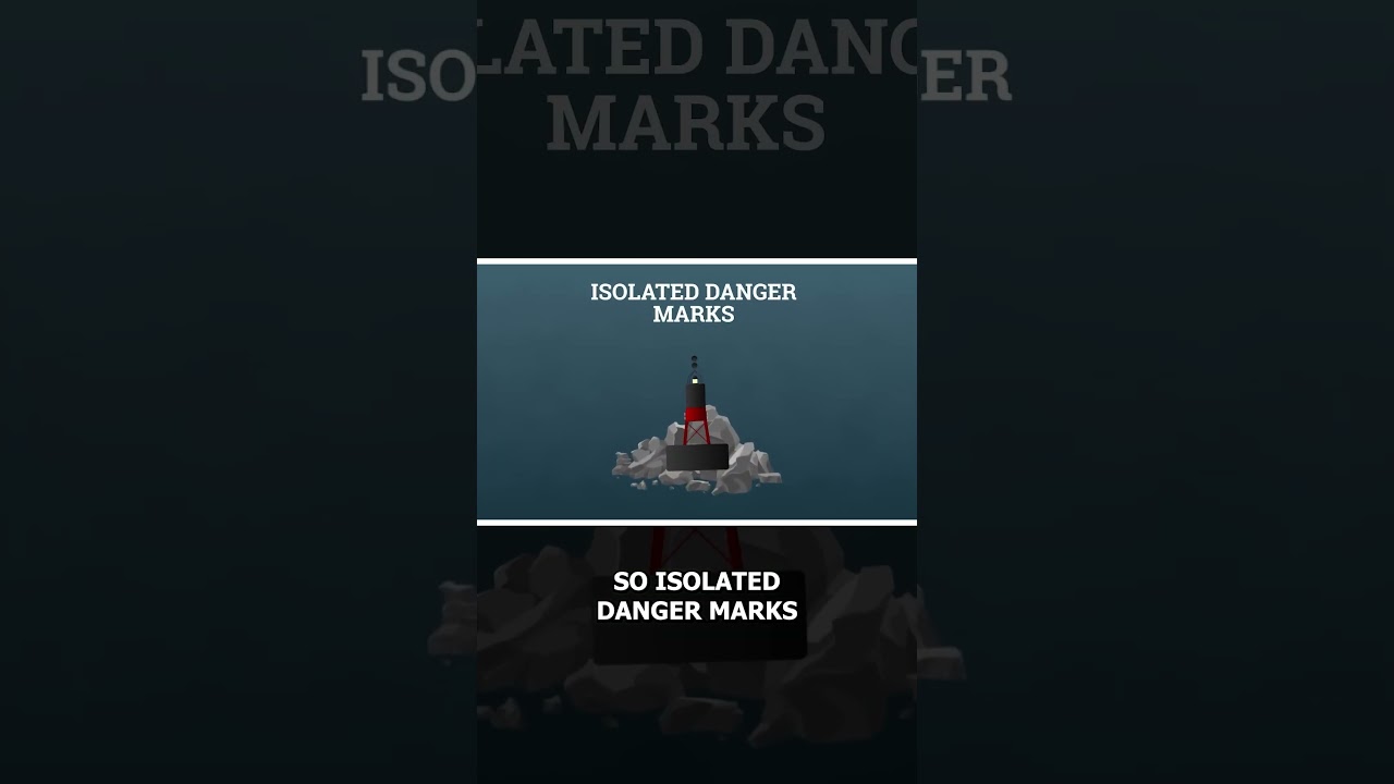
For localized obstructions surrounded by navigable water, isolated danger marks featuring black and red horizontal bands with two spherical topmarks sit directly above the hazard. A famous example is the wreck of the SS Richard Montgomery in the Thames Estuary, where warning markers and a permanent exclusion zone protect passing vessels from a sunken World War II cargo ship containing over 1,400 tons of unexploded ordnance.
#CardinalMarks #IsolatedDanger #MaritimeHistory #ShipEngineering #CasualNavigation
For localized obstructions surrounded by navigable water, isolated danger marks featuring black and red horizontal bands with two spherical topmarks sit directly above the hazard. A famous example is the wreck of the SS Richard Montgomery in the Thames Estuary, where warning markers and a permanent exclusion zone protect passing vessels from a sunken World War II cargo ship containing over 1,400 tons of unexploded ordnance.
#CardinalMarks #IsolatedDanger #MaritimeHistory #ShipEngineering #CasualNavigation

Casual Navigation
Your Window Into The Maritime World
Casual Navigation creates content that explores many different aspects of the maritime industry, with the aim of making it fun and interesting for anyone to enjoy.
We publish new videos on the Second and Last Friday o...